


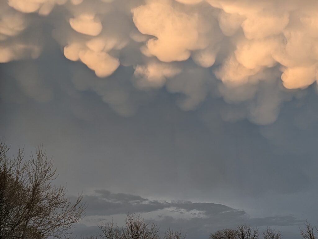
An early evening thunderstorm rolled through Kewanee in the six o’clock hour Thursday and once it was over the sky filled with cotton ball sack-like clouds that hung in the air. So unique were the clouds that residents took photos and posted them to social media.
The pouchlike clouds often appear in the sky after a storm and are called Mammatus clouds. They are often associated with severe weather such as the local storm that preceded their appearance.
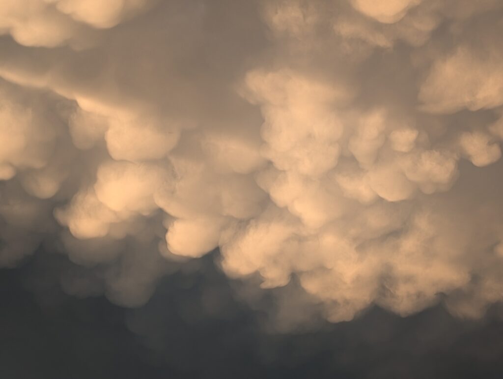
Formed beneath the anvil of a cumulonimbus cloud when cold, heavy air sinks, Mammatus clouds are striking, rounded and at times ominous mounds. While not dangerous, the clouds are associated with turbulent storm systems.
The clouds appeared almost like bubbles hanging from the sky and showed up after a bout of inclement weather. Rather than being formed by rising air, like most clouds, Mammatus clouds are formed by sinking cold air pockets.
As an extra treat for residents who got to witness the sighting, the clouds are considered rare and usually appear in late spring or summer following intense thunderstorm activity.