If you want to know what condition your Kewanee street (or any other street in the city) is in, now you can find out.
That is, unless you live on a state or federal highway.
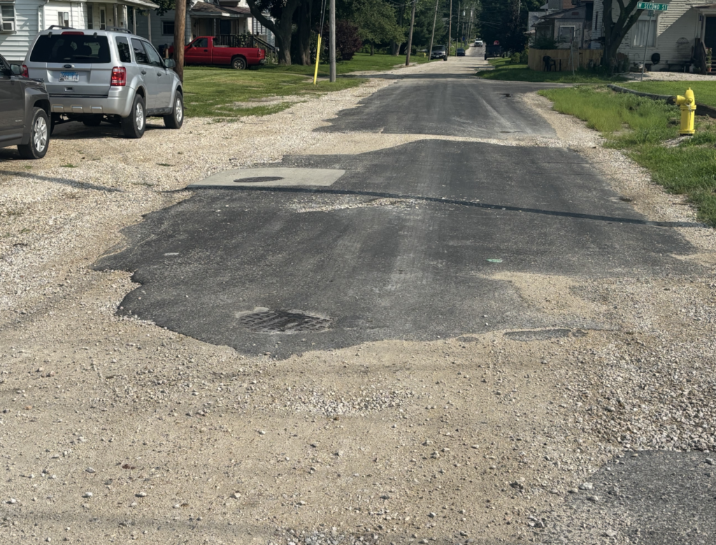
Last year, engineers from the Hutchison Engineering firm drove Kewanee streets to assess their condition.

They listed each block in one of four categories, from “poor” to “excellent.” The firm then prepared a map showing how each block was rated.
Chris Berry, the city’s public works director, said this week that he has posted that map to the city’s website.
You can find the map here.
On the map, streets rated “poor” are in red, those in “fair” are in orange, “good” streets are in green and purple streets are “excellent.”
U.S. Route 34 and Illinois Routes 78 and 81 weren’t rated by the engineers, since their maintenance is the responsibility of the Illinois Department of Transportation (IDOC) rather than the city.